Wind, rain, cold weather in the forecast for Atascadero starting today

Rainclouds over the City of Atascadero. Credit: Image generated by DALL-E-2.
Snow levels could drop between 1,250-1,750 feet
– Rainy, cold weather and even the possibility of snow at some elevations throughout the county are in the forecast this week.
Between 0.75 and 1.75 inches of rain are expected from Wednesday through Saturday morning, according to PG&E Meteorologist John Lindsey, “Scattered rain showers are forecast on Wednesday into Thursday, with snow levels dropping to between 1,250 and 1,750 feet in the inland areas and 2,000 feet in the coastal regions. Moderate to heavy rain is expected on Friday, with the frontal passage and snow levels increasing to 2,500 feet. Scattered rain showers and dropping snow levels are expected on Saturday morning. Dry weather is forecast for the rest of the weekend.”
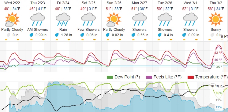
Click here to view a 10-day weather forecast for Atascadero on Weather Underground.
The predicted total precipitation (between 0.75 and 1.75 inches) from NOAA’s GFS 12Z model for San Luis Obispo County from Wednesday through Saturday morning. Scattered rain showers are forecast on Wednesday into Thursday, with snow levels dropping to between 1,250 and 1,750 feet… https://t.co/VMuff2fUWc pic.twitter.com/kyxFpcQ86I
— John Lindsey (@PGE_John) February 21, 2023
High winds swept through the area Tuesday, knocking down trees and causing power outages across the region. There were at least five reports of downed trees as of early Tuesday evening, according to a report by the Tribune. Almost 3,000 customers were without power in San Luis Obispo County on Tuesday night, according to PG&E.
A high wind warning is also in effect until 10 a.m. this morning, according to the National Weather Service. Northwest winds of 25 to 35 mph with gusts up to 55 mph are expected in some parts of the county. Click here to view the alert.
It will be a noisy night along the coastline, and here is why. Unlike most northwesterly wind events that calm down overnight due to the diurnal cycle, moderate gale-force to fresh gale-force (32 to 46 mph with gusts to 60 mph) NW winds will persist through Wednesday morning. 🌬️ pic.twitter.com/rj8U5rk0L9
— John Lindsey (@PGE_John) February 21, 2023
Rainfall amounts from the anticipated storms could be significant, which could potentially cause local flooding.